
Many people ask themselves how GPS tracking actually works in detail. For example, this also forms the basis of the popular GPS tracking, which is used in many different areas of life.
In everyday life, GPS tracking is very present, for example, in the tracking of packages. My Package Tracking also uses the GPS function in this way. All the information worth knowing about this topic is provided in the following article.
GPS – What does it mean?
The abbreviation GPS stands for Global Positioning System. Translated into German, it can be understood as a global positioning system. However, the full name is NAVSTAR-GPS, i.e. Navigation System with Timing and Ranging.
GPS is a navigation system that is based on satellites. GPS was developed in the USA in the 1970s. At that time, it was primarily used for military purposes. The system has been in operation officially since July 1995.
China and Russia have also developed their own navigation systems. The name of the Russian system is GLONASS, that of the Chinese equivalent BeiDou. Both systems have been officially approved for civilian use. In contrast, the EU was most recently concerned with the development of the Galileo system, to which access has been available since December 2016. However, GPS from the USA is currently the navigation system that is used worldwide.
This is how GPS positioning works
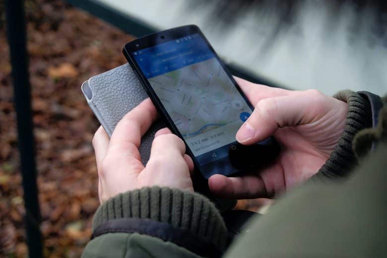
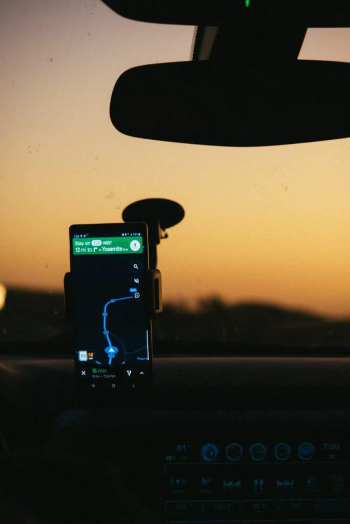
Objects, machines, people and means of transport, such as cars, can be equipped with a GPS receiver. This enables positioning around the clock. In this way, the speed, the direction of movement and the position to the meter can be recorded.
In space, or at an altitude of around 20,000 kilometers of the Earth’s orbit, there are 24 satellites that can be used free of charge. These constantly transmit coded radio signals, which send out information about the orbit, the time, and their current position at the speed of light.
The GPS receivers can then determine their speed and position from the travel times of the signals, which must be transmitted by at least four of the GPS satellites. The more satellites are in contact with the GPS device, the more precise the determination of speed and position. Nowadays, the system makes it possible to calculate the position of the receivers with an accuracy of about ten meters.

The GPS receivers record the signals transmitted by the satellites. The time of transmission is then compared with the time of reception. The distance circles can then be determined based on the clock time comparison and the individual positions of the satellites. The location where the GPS receiver is currently located is the location where an overlap of the distance circles occurs.
A GPS transmitter sends the received position data to a server. This in turn transmits the data to a GPS positioning system. The system stores the data and the user can retrieve it in different forms, depending on the purpose of the GPS, for example on a map or in a report.
Basically, the positioning is carried out via signal detection, which is determined with the help of GPS satellites. GPS positioning is thus made possible by control stations that determine the times and satellite orbits, the satellites themselves and the GPS devices. These processes the information received and transmit it to the user.